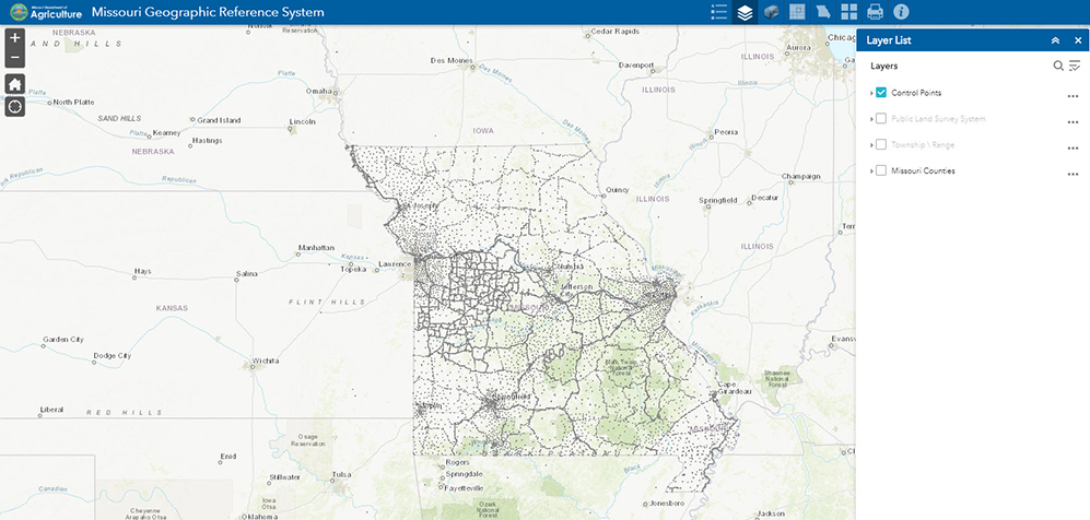
Geographic Reference System
The Missouri Geographic Reference System is a network of accurately positioned Horizontal and Vertical control monuments (latitude, longitude, elevation and state plane coordinates) used by land surveyors, engineers, cartographers and others who have a need to locate positions on, below or above the surface of the earth.
PDFs with additional details for map points are available through the map below and through the Missouri Department of Agriculture.